UK council teams up with Waze to help drivers avoid traffic hotspots

With the aim of reducing the cost of congestion, Oxfordshire County Council and Waze, the free, real-time crowd-sourced satellite navigation app, are teaming up to improve urban mobility. Following in the footsteps of Transport for London, Oxfordshire County Council is the second UK Connected Citizens Partner (CCP) with Waze. In a bid to speed up journey times and ease traffic hotspots, CCP is designed as a free, two-way data exchange that empowers municipalities to harness real-time driver insights to i
March 24, 2017 Read time: 1 min
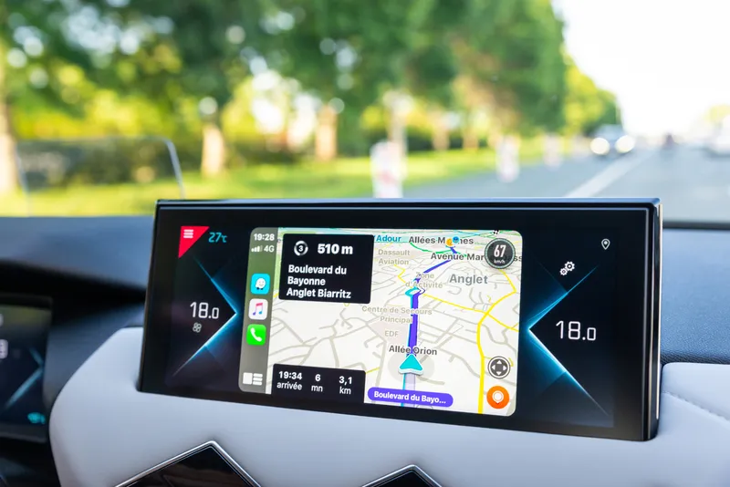
With the aim of reducing the cost of congestion, Oxfordshire County Council and 6897 Waze, the free, real-time crowd-sourced satellite navigation app, are teaming up to improve urban mobility.

Following in the footsteps of 1466 Transport for London, Oxfordshire County Council is the second UK Connected Citizens Partner (CCP) with Waze. In a bid to speed up journey times and ease traffic hotspots, CCP is designed as a free, two-way data exchange that empowers municipalities to harness real-time driver insights to improve congestion and make better-informed planning decisions.

For more information on companies in this article

Related Content

  • North Florida signals coordinated approach to congestion management
    October 7, 2013
    David Crawford investigates innovative congestion management in Florida. The largest US city by area is well into the implementation of an ambitious congestion management system (CMS) on the scale of those of higher-profile centres such as Seattle and San Francisco. Regional agency the North Florida Transportation Planning Organisation (NFTPO) aims to ensure that commuters on major highways in Jacksonville can rely on a minimum 72km/h (45mph) driving speed in normal conditions.
  • Big data helps San Diego optimise public transit
    July 14, 2014
    San Diego Metropolitan Transit System (MTS) has turned to Cubic’s big data subsidiary Urban Insights to make better use of its data, according to a report in Information Week. The agency has disparate data sources, including a smart-card payment system, GPS-based automatic vehicle location devices on buses, automatic passenger counters on trolleys, and extensive route and schedule information formatted in the general transit feed specification (GTFS) format developed by Google in 2006. "We look at all
  • Waze to warn drivers at rail crossings
    September 30, 2020
    US rail operator Norfolk Southern targets areas with 'history of vehicle-train incidents'
  • What Citizen Kane can teach transportation engineers
    July 14, 2023
    Andy Boenau suggests that one of the most famous movies of all time might have lessons for our industry. And they’re all about not knowing things...