With an innovative approach designed to meet the need for redundant positioning and navigation systems, Hartmut Runge from the Earth Observation Center (EOC) of the German Aerospace Center (DLR) has just been named the overall winner of this year's Copernicus Masters, and the competition's BMW ConnectedDrive Challenge. The competition was previously called the Global Monitoring for Environment and Security programme (GMES).
With an innovative approach designed to meet the need for redundant positioning and navigation systems, Hartmut Runge from the Earth Observation Center (EOC) of the 2206 German Aerospace Center (DLR) has just been named the overall winner of this year's Copernicus Masters, and the competition's 1731 BMW ConnectedDrive Challenge. The competition was previously called the Global Monitoring for Environment and Security programme (GMES).
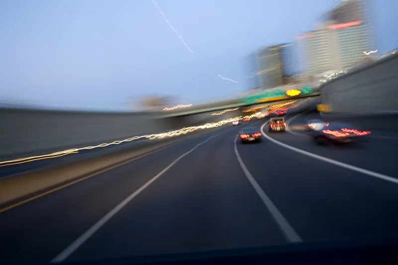
DLR's navigation method incorporates street lights, crash barrier posts, bridge railings, and other roadside features that are easily visible for both vehicles and earth observation satellites. With modern radar satellites, a comprehensive inventory of such landmarks can be compiled with centimetre-level accuracy and applied to digital roadmaps. A vehicle's optical or radar based system can thus constantly determine its current position based on triangulation of these points.
This idea won Hartmut Runge the EUR 20,000 grand prize, presented by Prof Dr Volker Liebig, director of Earth Observation Programmes and head of ESRIN, ESA during the Copernicus Masters awards ceremony.
"The interdisciplinary idea utilises Earth observation methods to provide a solution for a challenge the automobile industry really faces," states Benjamin Krebs from innovation management BMW ConnectedDrive at BMW Group research and technology. "We're excited by the high level of innovation evident in this vision and are looking forward to evaluating the next steps here at BMW Group with Mr Runge."