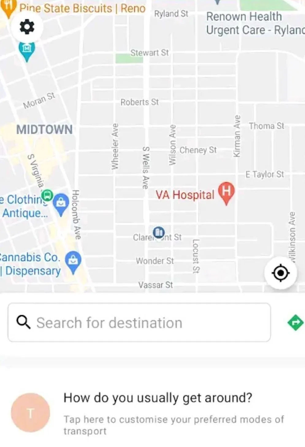
A new application for navigation, orientation and parking designed for people with reduced mobility has been launched in Madrid, Parma, Lisbon and Reading, where it provides access to important accessibility information such as the location of disabled parking spots or the location of elevators and ramps to access subway stations.
Simon Mobile also enables users to compute walking, driving and transit routes and use step-by-step navigation during a trip.
Simon Mobile also integrates with the new EU pa
November 27, 2015
Read time: 2 mins
A new application for navigation, orientation and parking designed for people with reduced mobility has been launched in Madrid, Parma, Lisbon and Reading, where it provides access to important accessibility information such as the location of disabled parking spots or the location of elevators and ramps to access subway stations.
Simon Mobile also enables users to compute walking, driving and transit routes and use step-by-step navigation during a trip.
Simon Mobile also integrates with the new EU parking card for the disabled, commonly known as Blue Badge that is currently being tested in a large-scale pilot running in several European cities. The goal of this ICT-enhanced badge is to reduce the fraudulent use of disabled parking spots to ensure that they are available to the people that really need them.
Combined with a Simon disabled badge, disabled citizens can use Simon Mobile to validate parking and view the usage history of their badge.
The application is currently available in the Android version and can be downloaded free from the Google Play Store.


