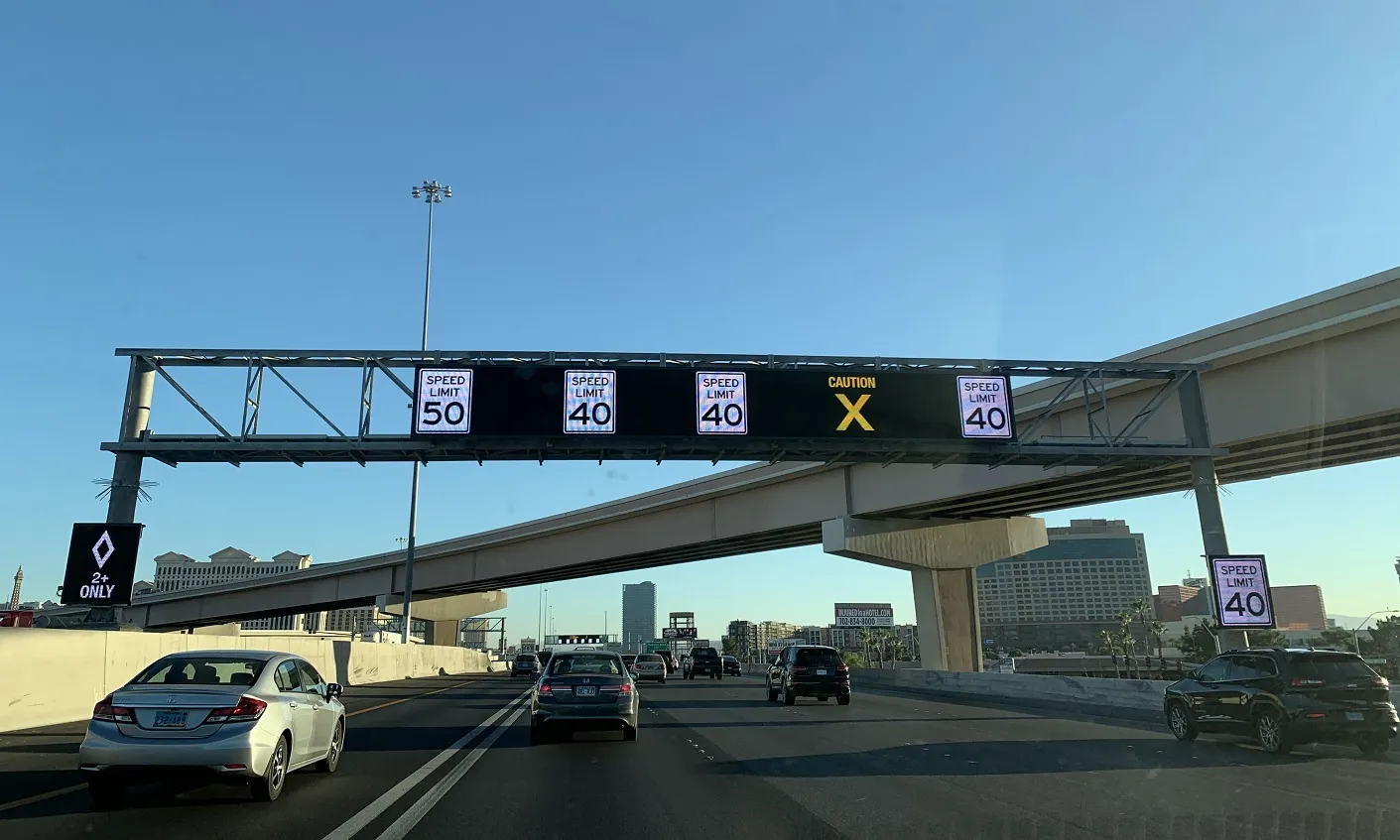
The Rhode Island Department of Transportation (RIDOT) is to expand its real-time travel information to include route 114, enabling motorists travelling on route 114 north in East Providence to view travel time estimates to I-95 and T F Green airport via the Department's existing electronic message board on route 114 north. Travel times are currently displayed each weekday on fixed overhead and portable roadside electronic message signs on I-95, I-195, and route 146, and complement other RIDOT travel plannin
February 13, 2013
Read time: 2 mins
The Rhode Island Department of Transportation (RIDOT) is to expand its real-time travel information to include route 114, enabling motorists travelling on route 114 north in East Providence to view travel time estimates to I-95 and T F Green airport via the Department's existing electronic message board on route 114 north.
Travel times are currently displayed each weekday on fixed overhead and portable roadside electronic message signs on I-95, I-195, and route 146, and complement other RIDOT travel planning services including 511, the Highway Advisory Radio and live traffic cameras.
The travel times for this added location are calculated using GPS streaming data from mobile sources such as cell phones, GPS units, and transponders, which aids the Department in providing travel times and congestion hot spots.
"We're pleased to expand our toolbox of travel planning services by expanding the real-time travel information for East Bay commuters heading into the City of Providence and beyond," said RIDOT director Michael P Lewis.


