Topcon mapping system

Topcon Positioning Systems (TPS) has announced an addition to its offering of high-accuracy, mobile mapping solutions. The IP-S2 HD Mapping System is a vehicle-mounted surveying and mapping system featuring a high-definition LiDAR scanner from Velodyne Lidar.
February 6, 2012 Read time: 2 mins
2258 Topcon Positioning Systems (TPS) has announced an addition to its offering of high-accuracy, mobile mapping solutions. The IP-S2 HD Mapping System is a vehicle-mounted surveying and mapping system featuring a high-definition LiDAR scanner from 2259 Velodyne Lidar.

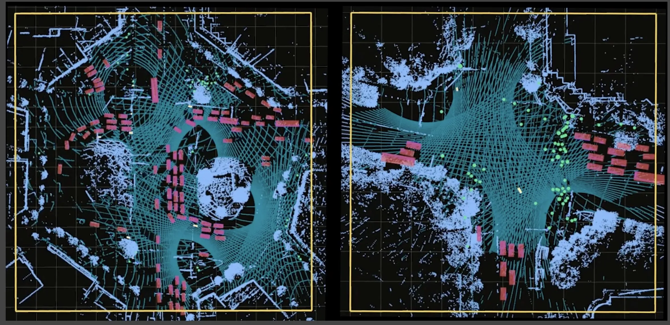
The system incorporates state-of-the-art technologies, including high-precision GNSS receivers, IMU (inertial measurement unit), vehicle wheel encoder, 360o digital cameras and Velodyne's HDL-64E S2.2 LiDAR scanner. It is designed so users, while driving the system-mounted vehicle at normal traffic speeds, can collect precise vehicle position/bearing data and spherical imagery of roadside objects such as sidewalks, buildings, tunnels, bridges and overpasses. The addition of Velodyne's LiDAR sensor is designed to allow vehicle operators to acquire very dense point clouds while travelling at posted speed limits even in inclement weather.

According to Dave Henderson, TPS 3D mobile mapping national sales manager, with the IP-S2 HD a single crew with a single user-supplied vehicle can acquire a complete dataset while driving, providing a revolutionary mobile data collection solution.

"Geo-referenced spatial data and colourful imagery allows users to easily identify features, assign attributes and export data to various CAD and GIS applications," he says, adding that the system significantly increases safety by eliminating the risk of working in busy streets and highways. Moreover, it allows for more coverage and increased productivity compared to traditional methods. "Users gain additional cost savings as the initial dataset can be accessed as frequently as needed and features can be extracted at any time, eliminating time-consuming returns to the field."

For more information on companies in this article

Related Content

  • Tolling systems - interoperability is key
    January 25, 2012
    Is US tolling as fragmented and divided as some would have you believe? And are the technology suppliers so very entrenched? ITS International spoke to the market's leading suppliers. A few years back, the prevalent view was that the North American tolling market was characterised by fragmented, proprietary solutions, each existing in splendid isolation. The reality is that a combination of pragmatism and good old market forces have seen some concerted moves made towards interoperability in many areas.
  • Seoul Robotics thinks everything’s better in 3D
    January 9, 2024
    As more and more of us will live in urban areas and need to share space on the road, 3D perception and smart cities point the way to safer transportation, says William Muller of Seoul Robotics
  • Smarter mapping makes for more informed decisions
    December 2, 2016
    Following his keynote presentation at the 2016 ITS World Congress in Melbourne, ITS International caught up with Esri founder Jack Dangermond. It is getting close to half a century ago that Jack Dangermond and his wife Laura founded the Environmental Research Systems Institute – known today as Esri - of which he remains president.
  • State of the art ITS technology for Doha tunnel management system
    January 31, 2012
    Husam Musharbash, Traffic Tech Group, talks about tunnel management system implementation on the new route between Doha and the soon-to-open New Doha International Airport. The new Ras Abu Aboud Tunnel in Qatar, which opened to traffic in January of this year, will serve the New Doha International Airport once the latter opens in 2011.