Topcon mapping system

Topcon Positioning Systems (TPS) has announced an addition to its offering of high-accuracy, mobile mapping solutions. The IP-S2 HD Mapping System is a vehicle-mounted surveying and mapping system featuring a high-definition LiDAR scanner from Velodyne Lidar.
February 6, 2012 Read time: 2 mins
2258 Topcon Positioning Systems (TPS) has announced an addition to its offering of high-accuracy, mobile mapping solutions. The IP-S2 HD Mapping System is a vehicle-mounted surveying and mapping system featuring a high-definition LiDAR scanner from 2259 Velodyne Lidar.

The system incorporates state-of-the-art technologies, including high-precision GNSS receivers, IMU (inertial measurement unit), vehicle wheel encoder, 360o digital cameras and Velodyne's HDL-64E S2.2 LiDAR scanner. It is designed so users, while driving the system-mounted vehicle at normal traffic speeds, can collect precise vehicle position/bearing data and spherical imagery of roadside objects such as sidewalks, buildings, tunnels, bridges and overpasses. The addition of Velodyne's LiDAR sensor is designed to allow vehicle operators to acquire very dense point clouds while travelling at posted speed limits even in inclement weather.

According to Dave Henderson, TPS 3D mobile mapping national sales manager, with the IP-S2 HD a single crew with a single user-supplied vehicle can acquire a complete dataset while driving, providing a revolutionary mobile data collection solution.

"Geo-referenced spatial data and colourful imagery allows users to easily identify features, assign attributes and export data to various CAD and GIS applications," he says, adding that the system significantly increases safety by eliminating the risk of working in busy streets and highways. Moreover, it allows for more coverage and increased productivity compared to traditional methods. "Users gain additional cost savings as the initial dataset can be accessed as frequently as needed and features can be extracted at any time, eliminating time-consuming returns to the field."

For more information on companies in this article

Related Content

  • Need for performance standards for road user charging systems
    February 2, 2012
    GNSS-based road use metering systems need performance metrics, as well as ways to test and reliably compare them. Bern Grush and Joaquín Cosmen write about the function of the GNSS Metering Association for Road-use charging (GMAR), recently set up to address this issue
  • Lufft’s MARWIS moves weather
    September 22, 2014
    A mobile road weather sensor is providing authorities with new options for monitoring road conditions and winter maintenance operations. Road and traffic engineers know the vulnerable points in their network – cold spots where ice forms first, high-banked roads where snow accumulates, fog pockets… Traditionally, most authorities will position weather stations at these points to detect and monitor road conditions during bad weather events.
  • Miovision Scout Plus – the future of traffic data collection
    April 17, 2024
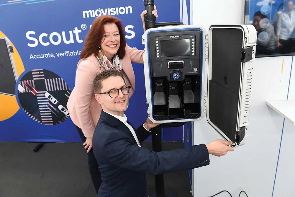
    Miovision is here to introduce the future of traffic data collection. The company say its Scout Plus is a genuine gamechanger. This innovative device seamlessly blends the familiar, user-friendly Scout form factor with cutting-edge features, marking a significant leap forward in its product line.
  • Tunnel simulators vital for real world tunnel management
    January 23, 2012
    Guillaume Ponsar, tunnel safety engineer with Egis Road Operation, writes about the advantages to be gained from the use of tunnel simulators. Major tunnel disasters over the last decade and more have shown how swiftly and badly a simple crash or fire may evolve should the wrong actions be taken by control room operators or traffic managers. Global safety issues and the reactions of operations staff have now become the principal concerns for Operations and Maintenance (O&M) service providers. As a result, n