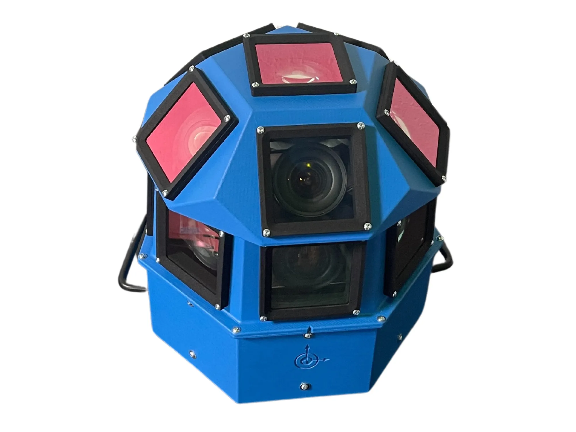
Topcon Positioning Systems (TPS) has announced an addition to its offering of high-accuracy, mobile mapping solutions. The IP-S2 HD Mapping System is a vehicle-mounted surveying and mapping system featuring a high-definition LiDAR scanner from Velodyne Lidar.
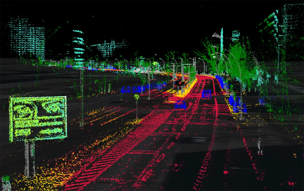
The system incorporates state-of-the-art technologies, including high-precision GNSS receivers, IMU (inertial measurement unit), vehicle wheel encoder, 360o digital cameras and Velodyne's HDL-64E S2.2 LiDAR scanner. It is designed so users, while driving the system-mounted vehicle at normal traffic speeds, can collect precise vehicle position/bearing data and spherical imagery of roadside objects such as sidewalks, buildings, tunnels, bridges and overpasses. The addition of Velodyne's LiDAR sensor is designed to allow vehicle operators to acquire very dense point clouds while travelling at posted speed limits even in inclement weather.
According to Dave Henderson, TPS 3D mobile mapping national sales manager, with the IP-S2 HD a single crew with a single user-supplied vehicle can acquire a complete dataset while driving, providing a revolutionary mobile data collection solution.
"Geo-referenced spatial data and colourful imagery allows users to easily identify features, assign attributes and export data to various CAD and GIS applications," he says, adding that the system significantly increases safety by eliminating the risk of working in busy streets and highways. Moreover, it allows for more coverage and increased productivity compared to traditional methods. "Users gain additional cost savings as the initial dataset can be accessed as frequently as needed and features can be extracted at any time, eliminating time-consuming returns to the field."