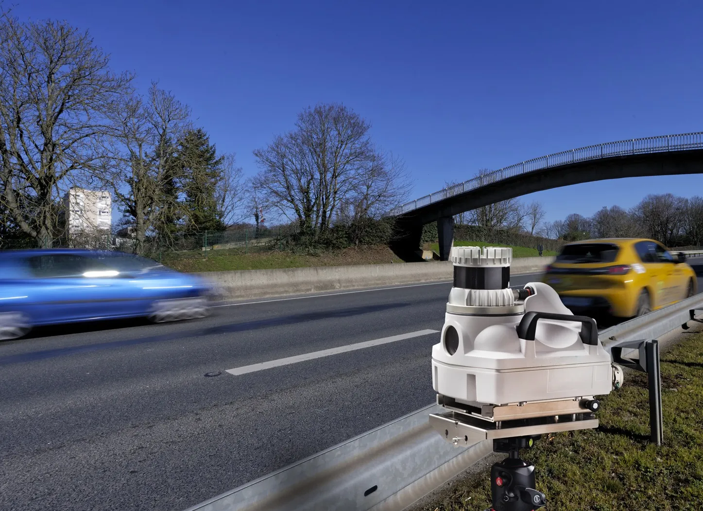
Topcon mapping system

Topcon Positioning Systems (TPS) has announced an addition to its offering of high-accuracy, mobile mapping solutions. The IP-S2 HD Mapping System is a vehicle-mounted surveying and mapping system featuring a high-definition LiDAR scanner from Velodyne Lidar.
February 6, 2012 Read time: 2 mins
2258 Topcon Positioning Systems (TPS) has announced an addition to its offering of high-accuracy, mobile mapping solutions. The IP-S2 HD Mapping System is a vehicle-mounted surveying and mapping system featuring a high-definition LiDAR scanner from 2259 Velodyne Lidar.

The system incorporates state-of-the-art technologies, including high-precision GNSS receivers, IMU (inertial measurement unit), vehicle wheel encoder, 360o digital cameras and Velodyne's HDL-64E S2.2 LiDAR scanner. It is designed so users, while driving the system-mounted vehicle at normal traffic speeds, can collect precise vehicle position/bearing data and spherical imagery of roadside objects such as sidewalks, buildings, tunnels, bridges and overpasses. The addition of Velodyne's LiDAR sensor is designed to allow vehicle operators to acquire very dense point clouds while travelling at posted speed limits even in inclement weather.

According to Dave Henderson, TPS 3D mobile mapping national sales manager, with the IP-S2 HD a single crew with a single user-supplied vehicle can acquire a complete dataset while driving, providing a revolutionary mobile data collection solution.

"Geo-referenced spatial data and colourful imagery allows users to easily identify features, assign attributes and export data to various CAD and GIS applications," he says, adding that the system significantly increases safety by eliminating the risk of working in busy streets and highways. Moreover, it allows for more coverage and increased productivity compared to traditional methods. "Users gain additional cost savings as the initial dataset can be accessed as frequently as needed and features can be extracted at any time, eliminating time-consuming returns to the field."

Related Content

  • April 21, 2023
    Certification for Parifex 3D Lidar speed camera trio
    French firm's Nano-Cam, Nomad & Double-Side Vigie all approved for use
  • September 14, 2015
    TomTom launches RoadDNA
    TomTom has launched TomTom RoadDNA, a new product for vehicle localisation that will help make automated driving a reality, faster. Designed with vehicle data storage and processing limitations in mind, RoadDNA delivers highly accurate location information that can easily be integrated into the on-board system of a vehicle. RoadDNA’s propriety technology delivers a highly optimised lateral and longitudinal view of the roadway. By matching RoadDNA data with vehicle sensor data in real-time a vehicle knows
  • July 23, 2012
    Radar effective as detection tool for hard shoulder running
    Navtech Radar's millimetric-wave systems are being researched on the M42 in England to look into how this type of detector can assist in the opening of the hard shoulder as an additional running lane. Here, the company's Stephen Clark talks about the technology being used. In England, the Highways Agency's (the HA, an executive agency of the Department for Transport) Managed Motorways system - formerly called Active Traffic Management - uses electronic signs and signals mounted on gantries to direct drivers
  • February 4, 2022
    Intertraffic Awards 2022: shortlist announced!
    Winners will be revealed at the opening ceremony of Intertraffic Amsterdam in March