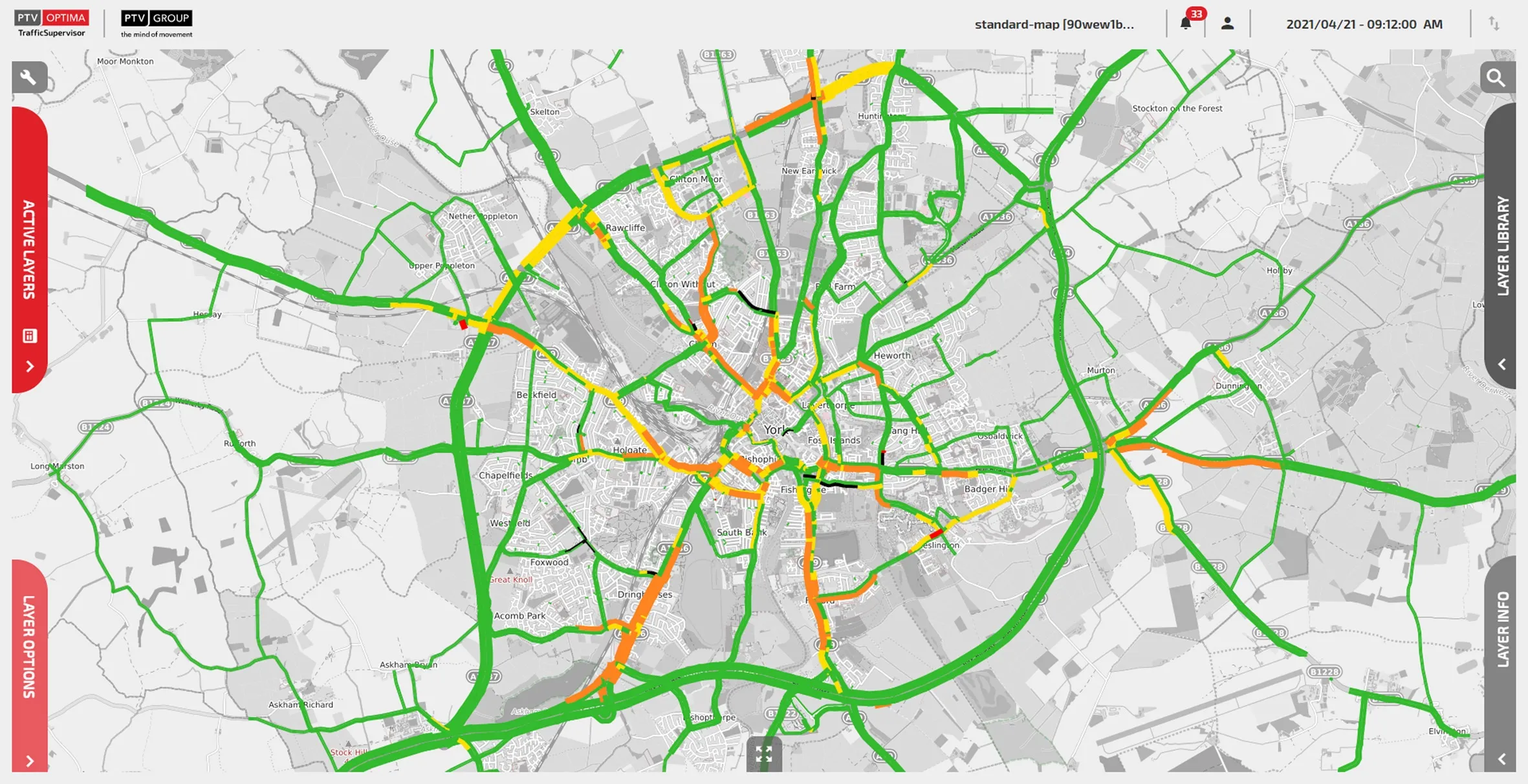
PTV Group has introduced a smart visualisation tool which it says has been developed for big data in traffic-related projects, a powerful GIS tool aimed at supporting GIS specialists and transportation professionals alike. PTV Visum Data Analytics combines map data with any traffic-related input and spatial information and visualises all data, allowing users to understand their networks in order to develop smart strategies and solutions. PTV Visum Data Analytics assists in getting started with graphical dat
PTV Visum Data Analytics combines map data with any traffic-related input and spatial information and visualises all data, allowing users to understand their networks in order to develop smart strategies and solutions. PTV Visum Data Analytics assists in getting started with graphical data analysis, without prior modelling work, by offering powerful, yet easy-to-use visualisation tools.
According to PTV, by using one platform the software closes the gap between GIS and modelling teams and provides users with a quick and efficient data aggregation and data processing engine. Based on PTV Visum, the new data analytics GIS tool is equipped with best-in-class software development technology. It also offers a logical upgrade path to other aspects of transport planning, such as demand modelling or road safety analysis.