Map & Guide Targets Green Logistics

Germany-headquartered PTV claims that the current version of map&guide professional sets new standards for green logistics and transports and provides a wide range of additional useful features.
February 27, 2012 Read time: 1 min
Germany-headquartered 3264 PTV claims that the current version of map&guide professional sets new standards for green logistics and transports and provides a wide range of additional useful features.

Version 2009 offers what 3264 PTV claims is an extremely significant innovation, the emissions calculator, which allows dispatchers to calculate emissions, such as CO2, based on routes. The software uses official data provided by the German Environment Agency for the calculation process. 3264 PTV says map&guide professional is the first standard software designed to provide high-quality emissions data on the basis of routes, providing an important step to get prepared for the challenges of future climate protection.

For more information on companies in this article

Related Content

  • TomTom debuts software alliance programme
    July 31, 2012
    TomTom Business Solutions has announced the launch of the TomTom Software Alliance Programme, a software integration, marketing, and sales programme that delivers additional value to commercial fleets by integrating core TomTom fleet management technology with industry leading software.
  • Data exploits parking potential
    March 11, 2015
    David Crawford parallel parks with innovations in two continents. Surveys of US cities indicate that drivers searching for parking can account for up to 37% of all urban traffic congestion. A 2011 study by IBM of 20 cities around the world found that nearly six out of ten drivers had abandoned their search for a parking space at least once; while motorists generally spent on average 20 minutes looking for a sought-after spot.
  • A SIMPL idea from Seyond
    November 7, 2024
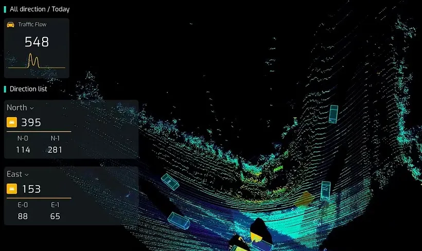
    Intersection management solution combines Lidar and AI for traffic signal control
  • Colorado DoT locates data-rich environment
    January 14, 2020
    Colorado DoT and Esri have been cooperating to unlock data’s potential. Jason Barnes finds out what that has to do with firing a howitzer at snowy mountains – and exactly why things that happened in the past point the way towards future proofing