ArcGIS for AutoCAD free download

ESRI has announced the availability of ArcGIS for AutoCAD, a free AutoCAD application that allows CAD users to visualise and query Geographic Information System (GIS) data within the CAD environment without conversion. ArcGIS for AutoCAD accesses dynamic geo-referenced ArcGIS Server map services and displays them in the AutoCAD drafting environment.
March 13, 2012 Read time: 1 min
50 ESRI has announced the availability of ArcGIS for AutoCAD, a free AutoCAD application that allows CAD users to visualise and query Geographic Information System (GIS) data within the CAD environment without conversion. ArcGIS for AutoCAD accesses dynamic geo-referenced ArcGIS Server map services and displays them in the AutoCAD drafting environment.

"For the first time, CAD users will have a simple way to connect to GIS enterprise data," says Don Kuehne, ESRI Product Manager. "These users will benefit from the results of GIS analysis through geo-referenced cartographic products inside AutoCAD's editing environment for context and reference without the complexities of conversion and translation."

The map service metadata is accessible in the standard AutoCAD Properties window and the map feature attributes can be viewed via the IDENTIFY tool. All vector, raster, and imagery formats that ArcGIS Server supports can be viewed in the CAD environment.

For more information on companies in this article

Related Content

  • ITS asset management matters
    April 26, 2013
    Maintenance of on-road ITS kit needs to become more sophisticated; while new technologies can deliver better road maintenance. David Crawford investigates both sides of the issue "Good information is key to effective ITS asset maintenance,” says Ian Routledge of the Ian Routledge Consultancy (IRC), whose Imtrac (Information Management for TRAffic Control) system is poised for European expansion. Developed as an ‘intelligent filing cabinet’ for storing information about on-road equipment, the online database
  • IEEE survey reveals driverless cars are the future
    July 15, 2014
    IEEE has released the findings of a survey that revealed expert opinions about the future of driverless cars, from challenges to mass adoption, essential autonomous technologies, features in the car of the future, and geographic adoption. More than 200 researchers, academicians, practitioners, university students, society members and government agencies in the field of autonomous vehicles, participated in the survey. When survey respondents were asked to assign a ranking to six possible roadblocks to th
  • Real-time winter visibility from Esri
    October 8, 2020
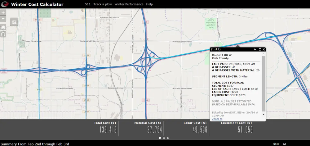
    Keeping the roadways clear during the winter months has become smarter and more transparent at the Iowa Department of Transportation.
  • Cellint measures speed and travel time without roadside infrastructure
    April 10, 2014
    Collecting speed and travel time data without using roadside infrastructure could offer new possibilities to cash-strapped road authorities. Streaming video may be useful for traffic controllers to monitor incidents and automatic number plate recognition may be required for enforcement, but neither are necessary for many ITS functions. For instance travel times, tailbacks, percentage of vehicles turning, origin and destination analysis can all be done using Bluetooth and/or WI-Fi sensors and without video o