ArcGIS for AutoCAD free download

ESRI has announced the availability of ArcGIS for AutoCAD, a free AutoCAD application that allows CAD users to visualise and query Geographic Information System (GIS) data within the CAD environment without conversion. ArcGIS for AutoCAD accesses dynamic geo-referenced ArcGIS Server map services and displays them in the AutoCAD drafting environment.
March 13, 2012 Read time: 1 min
50 ESRI has announced the availability of ArcGIS for AutoCAD, a free AutoCAD application that allows CAD users to visualise and query Geographic Information System (GIS) data within the CAD environment without conversion. ArcGIS for AutoCAD accesses dynamic geo-referenced ArcGIS Server map services and displays them in the AutoCAD drafting environment.

"For the first time, CAD users will have a simple way to connect to GIS enterprise data," says Don Kuehne, ESRI Product Manager. "These users will benefit from the results of GIS analysis through geo-referenced cartographic products inside AutoCAD's editing environment for context and reference without the complexities of conversion and translation."

The map service metadata is accessible in the standard AutoCAD Properties window and the map feature attributes can be viewed via the IDENTIFY tool. All vector, raster, and imagery formats that ArcGIS Server supports can be viewed in the CAD environment.

Related Content

  • September 7, 2020
    Esri highlights benefits of a state-wide data-rich environment
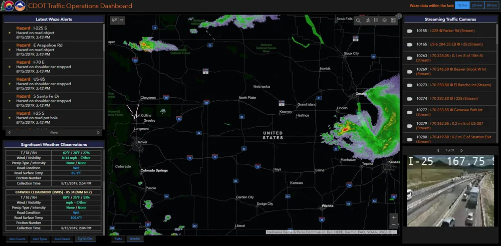
    Walk into virtually any traffic operations centre and you will be confronted by people flipping between different screens and CCTV monitors, and individually viewing a large number of stand-alone applications to try to understand a comprehensive picture of their live traffic, weather, incident, and snow conditions from these disparate sources.
  • July 24, 2012
    Coded exchanges
    For many, Ethernet- and IP-based networks are the cast-iron solution to ITS's communications needs. However, there remain issues from manufacturer to manufacturer with interpretation of what are supposed to be common standards The 'promise' of Ethernet was that different devices such as IP video cameras and traffic signals could be easily integrated into communications networks, simplifying the process of transporting data over copper, fibre or wirelessly. However, although Ethernet devices have come to pre
  • December 5, 2012
    Reducing congestion with Tomtom's historical traffic data
    Historical traffic data provided by TomTom is being used by the local government in Spain’s Basque region to reduce road congestion at less cost. Old habits die hard. Photos from as far back as the 1930s show people counting cars by the roadside in order to provide congestion data to those running road networks. Today, such techniques are still used, albeit augmented by a range of automation technologies such as inductive loops, infra-red sensors and number plate recognition. Even with these advances, howe
  • May 29, 2014
    The role of GIS in climate change resiliency
    Climate change will pose global and local challenges and that includes risks to the transportation infrastructure. Climate change adaptation and resiliency has captured the attention of the transportation community for some time now. Because transportation infrastructure is often designed to last for 30, 50, or 100 years or even longer, transportation professionals are concerned not only about the impact on our existing investments, but also how to design more durable transportation systems for the future