The agreement builds on GSSI’s new engineering initiative, which focuses on using GPR to solve difficult problems that cannot be solved with any other technologies. Led by newly appointed Vice President of Research and Development, David Cist, an expert engineering team is focusing on commercialising the new technology.
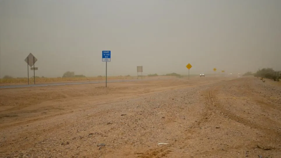
Engineers at MIT Lincoln Laboratory, who developed LGPR, have demonstrated that features in soil layers, rocks, and road bedding can be used to localize vehicles to centimetre-level accuracy. The LGPR technology has been tested for lane keeping even when snow, fog, or dust obscures above-ground features.
The LGPR sensor uses high-frequency radar reflections of underground features to generate a baseline map of a road's subsurface. Whenever an LGPR vehicle drives along a road, the data can be used as a reference map. On subsequent passes the LGPR equipped vehicle compares its current map against the reference map to create an estimate of the vehicle's location. This localisation has been demonstrated to be accurate to within a few centimetres, in real-time and at highway speeds, even at night in snow-storms.
GSSI partners with MIT Lincoln Laboratory to develop LGPR for autonomous vehicles
US-based Geophysical Survey Systems (GSSI), manufacturer of ground penetrating radar (GPR) equipment, has entered into a licensing agreement with Massachusetts Institute of technology (MIT) Lincoln Laboratory to build and sell commercial prototypes of their localised ground penetrating radar (LGPR) system, which helps autonomous vehicles navigate by using subsurface geology. The partnership will make prototype systems available to the self-driving vehicle industry.
September 11, 2017
Read time: 2 mins
US-based Geophysical Survey Systems (GSSI), manufacturer of ground penetrating radar (GPR) equipment, has entered into a licensing agreement with 2024 Massachusetts Institute of technology (MIT) Lincoln Laboratory to build and sell commercial prototypes of their localised ground penetrating radar (LGPR) system, which helps autonomous vehicles navigate by using subsurface geology. The partnership will make prototype systems available to the self-driving vehicle industry.


