Ford Motor Company and the Massachusetts Institute of Technology are collaborating on a new research project that measures how pedestrians move in urban areas to improve certain public transportation services, such as ride-hailing and point-to-point shuttles services.
The project will introduce a fleet of on-demand electric vehicle shuttles that operate on both city roads and campus walkways on the university’s campus. The vehicles use LiDAR sensors and cameras to measure pedestrian flow, which ultimate
The project will introduce a fleet of on-demand electric vehicle shuttles that operate on both city roads and campus walkways on the university’s campus. The vehicles use LiDAR sensors and cameras to measure pedestrian flow, which ultimately helps predict demand for the shuttles. This, in turn, helps researchers and drivers route shuttles toward areas with the highest demand to better accommodate passengers.
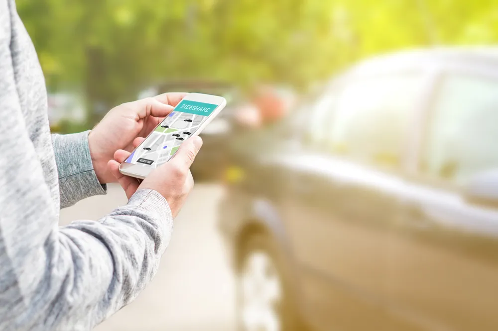
The researchers plan to introduce the service to a group of students and faculty beginning in September. This group will use a mobile application to hail one of three electric urban vehicles to their location and request to be dropped off at another destination on campus.
During the past five months, Ford and MIT have used LiDAR sensors and cameras mounted to the vehicles to document pedestrian flow between different points on campus. LiDAR is an efficient way to detect and localise objects from the environment surrounding the shuttles. They say the technology is much more accurate than GPS, emitting short pulses of laser light to precisely pinpoint the vehicles’ location on a map and detect the movement of nearby pedestrians and objects.
Using this data, researchers study the overall pattern of how pedestrian traffic moves across campus, which helps the researchers anticipate where the most demand for the shuttles will be at any given moment. This allows the shuttles to be carefully pre-positioned and routed to serve the MIT population as efficiently as possible.
Researchers also take into account other factors that affect pedestrian movement on MIT’s campus, such as varying weather conditions, class schedules, and the dynamic habits of students and professors across different semesters.
“The onboard sensors and cameras gather pedestrian data to estimate the flow of foot traffic,” said Ken Washington, vice president of Research and Advanced Engineering at Ford. “This helps us develop efficient algorithms that bring together relevant data. It improves mobility-on-demand services, and aids ongoing pedestrian detection and mapping efforts for autonomous vehicle research.”