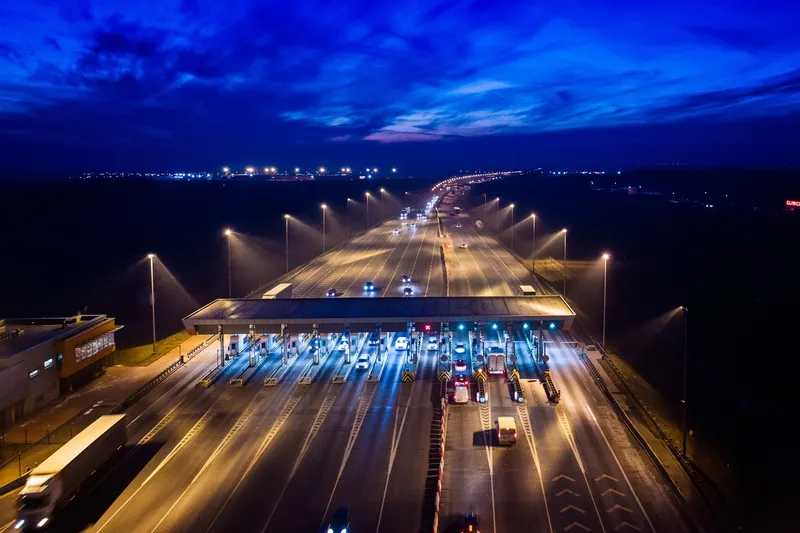
Turkey-based tolling specialist Aselsan has deployed its electronic toll collection technology for Izmit Bay Car Ferry, on the Marmara Sea.
Turkey-based tolling specialist 19 Aselsan
has deployed its electronic toll collection technology for Izmit Bay
Car Ferry, on the Marmara Sea. An important route connecting Istanbul to
southern destinations, some 10,000 vehicles use the ferry during
weekdays, and up to 17,000 at weekends, to avoid a 150km motorway
journey around the bay. Ferry frequency in each direction is every 20
minutes, 24 hours a day.
The Aselsan deployment involves an open tolling system on two ferry stations where vehicles are tolled based on their length and height on the first axle. This method is preferred because it classifies vehicles according to the surface area they occupy on the ferry. In this classification scheme, vehicle length is measured as the distance between the first axle and the tail of the vehicle, using a series of axle detectors and an optical barrier.
A total of six toll lanes on two stations are controlled by a remote centre. At each station there are two cash lanes and one cash/card hybrid lane. Toll payment uses cash or Turkey's national toll system card, the KGS.
The ferry tolling system also counts the number of vehicles transported by each ferry. For this, the lane system produces a barcoded ticket with vehicle specific information which is read as vehicles move onto a ferry from the parking area. The statistical information generated for each ferry helps to plan for an efficient operation.
Since the ferry operator has several other ferry stations around the Marmara Sea, the system was designed to enable future expansions.