
Cepton and Mechaspin launch lidar tolling solution

Cepton Technologies is working with machine learning company MechaSpin to develop a lidar-based solution that produces detailed 3D classification of vehicles in real time for automated tolling applications.
November 13, 2019 Read time: 1 min

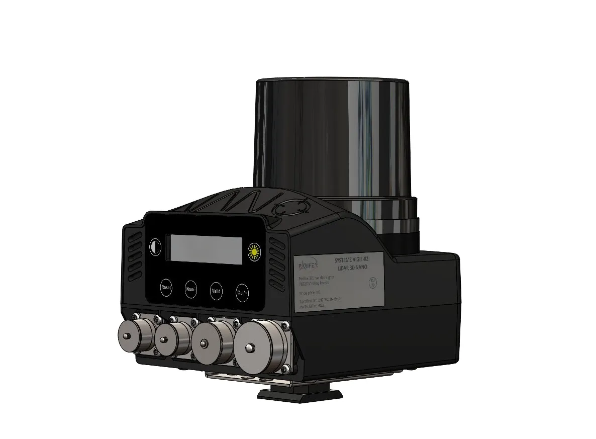
Cepton - a provider of 3D sensing solutions - is to combine its Sora-P60 lidar with MechaSpin’s MSx software with the aim of enabling immediate profiling of vehicles at highway speeds in a range of weather and lighting conditions.

Neil Huntingdon, Cepton’s vice president of business development, says: “Our partnership with MechaSpin will allow for faster, more accurate and lower cost management of our transport infrastructure as the number of vehicles continues to grow globally.”

Cepton says the solution will remove the need for physical infrastructure while providing data on vehicle velocity, size and axle counts in a format which can be integrated with other sensor, data capture and billing systems. The hardware is designed for aerial installation and contains minimal moving parts to reduce the likelihood of failure, the company adds.

MechaSpin’s president Danny Kent says: “Cepton's lidar technology coupled with MechaSpin's MSx Processing Engine offers a robust solution for tolling, intermodal and other transportation industry applications.”

For more information on companies in this article

Related Content

  • Certification for Parifex Nano 3D-Lidar
    May 20, 2022
    French metrology institute LNE has registered the speed enforcement system
  • New model generation with PTV’s Model2Go
    August 8, 2022
    PTV Group has launched a product which automates much of the painstaking business of building transport models. Adam Hill talks to the company’s Udo Heidl and Ben Stabler to find out more
  • Michael Baker International adds to UAS inspection fleet
    November 18, 2016
    US-based engineering and planning consulting service Michael Baker International has expanded its inspection services with the purchase of a Topcon Falcon 8 unmanned aircraft system (UAS), offering a new perspective for its pilots to achieve precise aerial imagery and mapping during the inspection of infrastructure elements. Combined with the company’s mobile and static Light Detection and Ranging (LiDAR) systems for data collection and by utilising the system’s flight stability and high-resolution 32-me
  • When weather warnings get hyperlocal
    August 24, 2016
    David Crawford looks at new technologies to cope with the age-old problem of driving in bad weather. On the 10-year average, between 2005 and 2014 bad weather contributed to more than 1.5 million vehicle crashes in the US each year, resulting in more than 800,000 injuries and 7,400 deaths. These were the findings of analysis by Booz Allen Hamilton of NHTSA data which concluded that the loss of life, hospital treatment and damage to assets costs an annual average of $42bn.