Kistler installs 'world's largest digital WiM site' in smallest US state

Forty Lineas digital quartz sensors cover 10 lanes on bridge in Rhode Island
By Adam Hill September 5, 2024 Read time: 2 mins
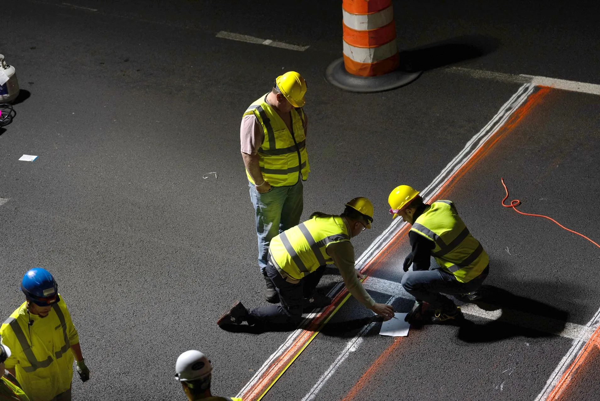
Kistler team installs sensors flush with the road surface on Washington Bridge in Providence (image: Kistler Group)

Kistler is to install what it says is the largest digital Weigh In Motion (WiM) site in the world, with 40 Lineas digital quartz sensors covering 10 traffic lanes.

The company is carrying out the work for Rhode Island Department of Transportation (RIDoT) to protect the structural health of Washington Bridge in the city of Providence. Rhode Island is the smallest state by area in the US.

Currently, the north span of the Washington Bridge is being removed and a new span is planned. To keep traffic moving during the north span restoration project, two traffic lanes were added to the south span. 

Kistler says the load rating on the south span is adequate, but installing its structural health monitoring (SHM) solution means RIDoT will be able to evaluate in real time whether the additional traffic load is having an adverse impact.

“Bridges talk to us,” observes JT Kirkpatrick, Kistler head of sales, traffic solutions. 

“We have the ability to hear and interpret every sound, even nearly inaudible sounds, emitted from a bridge that signal structural distress. This will enable us to work with RIDoT to proactively monitor the bridge’s structural health in real-time so they can take action to preserve this vital structure.”

WiM sensors are placed just under the surface of the bridge’s roadway, and the system also includes charge amplifiers to condition electrical signals from the sensors, data loggers to process data in real time and LPR cameras to identify trucks by their class size and monitor for overweight wheel, axle and gross vehicle weight (GVW) loads.

The sensor-based SHM solution will enable RIDoT to perform predictive analyses and more timely preventative maintenance, Kistler insists.

Measuring equipment — accelerometers, strain gauges, temperature sensors, inclinometers and a meteorology station — will measure, collect and interpret bridge health data.

For more information on companies in this article

Related Content

  • Why keeping count is so important for traffic management
    November 21, 2023
    Traffic engineers need to have multiple solutions in their toolbox to complete the most accurate and safe data collection programmes possible, explains Wes Guckert of The Traffic Group
  • SPONSORED CONTENT: Using AI to achieve real traffic intelligence
    June 3, 2020
    The application of artificial intelligence has the potential to transform the performance of vision-based systems used for a wide and growing set of applications. These include vehicle presence detection and identification, count and classification, and enforcement, explains Roy Czinku of International Road Dynamics
  • Texas receives national transportation award
    September 6, 2012
    ITS America has awarded the Texas Department of Motor Vehicles (TxDMV) and the Texas Department of Transportation (TxDOT) a Smart Solution Spotlight Award for a new web-based tool that allows truck owners to self-issue the permits and routes they need to move oversize and overweight loads on the state’s highway system. The Smart Solution Spotlight award is made to companies and organisations that use innovative technology to create a safer, cleaner, more efficient and sustainable transportation system. The
  • Vaisala's RoadAI can optimise maintenance
    August 20, 2019
    Alerts for natural disasters are ones that most of us would rather do without, writes Adam Hill. But the ITS industry still needs help to deal with more common meteorological issues Google Maps has added SOS alerts to its service. For those of us more used to using the phone app to navigate from a metro station to an unfamiliar restaurant, this may seem extreme. But this is not what Google has in mind. Its SOS messages are for “hurricane forecast cones, earthquake shake-maps and flood forecasts”. That