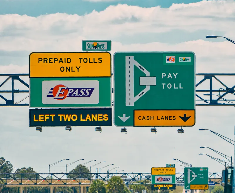
Central Florida Expressway Authority sets up toll road lane closure alerts

Nine-month pilot scheme uses One.network software to give traffic engineers overview
By Adam Hill October 30, 2023 Read time: 2 mins
CFX workers will be able to close and open lanes from the roadside in near real-time (© Craig Russell | Dreamstime.com)

Central Florida Expressway Authority (CFX) is to create a nine-month lane closure notification system (LCNS) pilot for its toll roads.

The project uses One.network software which will allow CFX to communicate roadway disruptions to the public and other stakeholders using the Sunshine State's busy tourist corridors.

The mapping, traffic management and real-time work zone notification software will provide traffic engineers with a single operational view of all lane closures throughout the CFX network.

The LCNS pilot will also utilise One.network’s Live Link smartphone app that gives workers the ability to geometrically map out lane closures or changed speed limits for each work zone, and allows them to close and open lanes from the roadside in near real-time. 

That information is provided directly to GPS companies so they can update their maps for drivers.

James Harris, founder and CEO of One.network. “We’re delivering timely work zone and lane closure information into cars and onto drivers’ devices when they need it most. It adds a critical layer of safety, not only for crews in work zones, but also for drivers who are navigating roads they’ve never seen before.”

CFX will also use One.network’s Plan Share platform to coordinate all roadway disruptions and know precisely when projects are scheduled to begin and end, avoiding potential conflicts that could contribute to congestion or create safety issues. 

Used with Live Link, it will give traffic managers "a big-picture view of authorised roadway work, with the ability to verify the accuracy of lane closures and openings in near real-time", One.network says.

The company will also create a Work Zone Data Exchange (WZDx) feed for CFX’s advanced traffic management system to provide closure data for added situational awareness on the roadway, allowing CFX's team to analyse traffic patterns.

For more information on companies in this article

Related Content

  • Hackers remotely control jeep
    July 22, 2015
    Two US security experts have demonstrated security flaws in a Jeep Cherokee by taking wireless control of its systems from ten miles away. Writing on technology website Wired, Andy Greenberg, who was driving the jeep at the time, tells how Charlie Miller and Chris Valasek first toyed with the vehicle’s air conditioning, entertainment system and windscreen wipers, before cutting the transmission and causing the jeep to slowly come to a halt. Greenberg says, “The most disturbing manoeuvre came when they
  • NavFusion provides map updates via a smart phone app
    November 28, 2013
    A new app that connects a vehicle’s systems to the internet opens up a range of possibilities as Jon Masters discovers. Sometimes the most straightforward or simple of ideas can be the most significant. So it seems with the latest development from Hungarian navigation software supplier NNG. The company’s software features in-vehicle infotainment systems and has launched NavFusion – which connects a vehicles’ sat nav programs to smartphones. NavFusion is being incorporated into NNG’s iGO navigation s
  • Here and Mitsubishi unveil road hazard alert system
    May 22, 2019
    Here Technologies has piloted a system with Mitsubishi Electric which it claims can enable vehicles to automatically warn others about upcoming road hazards with lane-level precision Here says the Lane Hazard Warning platform enables an event detected by a vehicle’s sensors – such as a slow car or pothole – to be localised to a specific lane. This information can then be transmitted in real time via the cloud to other vehicles approaching the same area, the company adds. Hiroshi Onishi, executive office
  • Colorado DoT locates data-rich environment
    January 14, 2020
    Colorado DoT and Esri have been cooperating to unlock data’s potential. Jason Barnes finds out what that has to do with firing a howitzer at snowy mountains – and exactly why things that happened in the past point the way towards future proofing