Transit priority is proving a win-win in Europe and Australia. David Crawford reports.
Technology that integrates with the Australian-originated Sydney Coordinated Adaptive Traffic System (SCATS) is driving bus signal priority and performance analysis initiatives on both sides of the world; in its homeland, with a major deployment in 2015, and in the capital of the Republic of Ireland. The latter is one of the few European countries to deploy the system, which is widely used across the Asia/Pacific region.
The schemes are taking advantage of an update to SCATS which sees the incorporation of an API allowing external ITS applications to interface with traffic signal operation. Using this, Dublin City Council has designed, specified and procured its new Dublin public transport interface module (DPTIM).
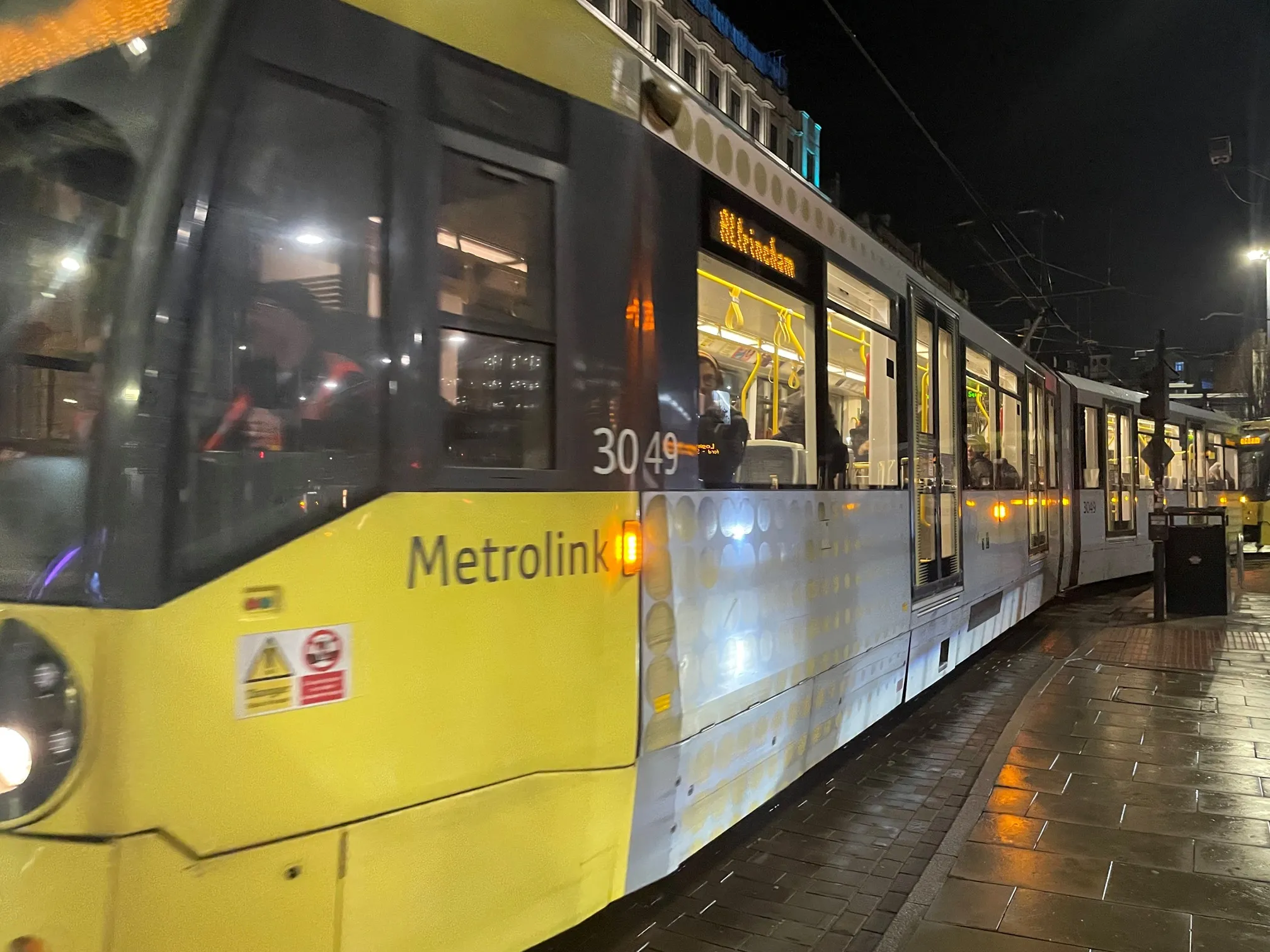
Buses are the city’s main public transport mode, outweighing both commuter and light (LUAS) rail alternatives in both coverage and passenger numbers. State-owned operator Dublin Bus runs a fleet of more than 1,000 vehicles, most of which terminate in, or pass through, the central area – negotiating, en route, more than 75 SCATS-controlled intersections.
In time for the LUAS network to start running in 2004, all the traffic signals that interacted with it had been equipped with SCATS-controlled tram priority at crossings. In 2008, following unsuccessful earlier trials, Dublin Bus began fitting its vehicles with a GPS-based bus tracking solution delivering automatic vehicle location (AVL) to support its own signal priority needs.
The decision was made on the basis that the system would come with a European SIRI (Service Interface for Real Time Information) standard interface for public transport data exchange, to enable connection to SCATS. The system transmits the position of each in-service bus at 20-second intervals, with the feed including data on whether or not the vehicle is in congestion or loading passengers at a stop.
This technology avoids the need for the roadside devices traditionally used to initiate bus priority, installed on-site close to a local traffic controller. It also enables ‘intelligent’ escalation of, rather than fixed, priority when needed, by evaluating the status and progress of public transport vehicles and responding appropriately.
The data feed has also enabled effective monitoring of bus usage of the road network, via a map-based graphical user interface. This enables visualisation of geospatial data and deploys user-created virtual detectors to highlight areas where buses are of interest.
The software was originally evolved by South Australia-based
Typical results highlighted in Dublin Bus’ ‘2015 Year Review’ include time savings through specific junctions of up to three minutes, and journey times reduced by 11%. The supporting civil engineering works have been “light”, DCC senior executive ITS officer Maggie O’Donnell told the 2015
“At that time”, she said, “it would have been difficult to quantify the exact time improvements that such civil works would bring”, in contrast to those achieved with bus priority which builds on the existing infrastructure. This, she said, “has proved to be very cost-effective in time saving, with no extra on-site street equipment being necessary.”
DCC is now using the results to help pave the way for a possible future bus rapid transit operation. Dublin’s public transport interface module is also attracting the attention of cities elsewhere in Europe and further afield.
Meanwhile, Advantech Design has gone on to brand its approach as a commercial product, under the name of TRANSnet, and March 2015 saw the start of its first roll-out, in Adelaide, South Australia. The deployment arose after a senior official from the state’s Department of Planning, Transport and Infrastructure saw DPTIM being presented on a visit to Dublin in 2013. The department was already exploring solutions, but there were concerns over ones that applied only fixed levels of priority in response to demands.
The official recognised a potential solution for providing more intelligent public transport priority in Adelaide, where it could be integrated with data output from the passenger information service inaugurated for the city’s 7,500 bus and tram stops in 2013. Another potential data source was the
The deployment, which again uses a map-based approach, is in response to Adelaide’s chronic traffic congestion, which has seen travel times steadily increasing over the past decade, with inbound journeys during the morning peak taking an average two minutes 43 seconds longer. The largest single contributor to the city’s problem is that half of the 120,000 workers who head inwards each day come by car – compared with Melbourne (40%), Brisbane (38%) and Sydney (18%).
Again, about a quarter of its traffic – or 55,000 car trips out of the daily total of 220,000 – use the city as a convenient through route. Many journeys are being made by inner- as well as outer-suburban residents, pending any substantial progress towards improving the city’s current ring road, which has 26 sets of traffic lights.
Meanwhile, the South Australian Government’s 30-year plan predicts that the city’s employment base could grow by 50,000 by 2038 – which would mean 84,000 more car trips in and out of the centre every working day. Commentators fear that this this could mean up to two hours of constant gridlock during every peak period.
Locally-based planning consultancy
The company argues that current policy pushes to increase parking in the Adelaide area and wind back the number of bus and bike lanes in its central business district would be “a disaster for the city economy and social well-being of its residents”. InfraPlan managing director George Giannakodakis claims that input from transport and urban planning professionals has been conspicuously absent. “The city of Adelaide supports a heavily car-dependent metropolitan workforce, in fact one of the heaviest in the western world”.
Hence the official interest in increasing the use of public transport, which has been falling in recent years, with better services and journey times seen as key incentives for converting commuters.
Adelaide has had a basic version of the TRANSnet operating from early 2015. Advantech Design managing director Trevor Powell told ITS International that potential additional capability for emergency vehicle priority has yet to be implemented. “But we are currently exploring its potential as well as that for freight movement efficiency by creating a priority corridor for oversize vehicles through the city’s arterial road network.”
The company is now working with two public agencies in the neighbouring Australian state of Victoria - strategic highway operator
The other is for container freight priority management en route from port disembarkation to inland storage and handling complexes. The aim here is to encourage the use of preferred arterial roads and minimise the number of stops made along the way.
While TRANSnet’s current deployments are SCATS-based, Powell is confident that it could work with SCOOT (Split Cycle Offset Optimisation Technique) or other traffic management systems “with minimal effort, as long as they provide a suitable interface to connect to”.
Data is just the ticket
Advantech Design’s Powell told ITS International: “Real-time passenger information and information from advanced ticketing systems are not absolutely critical, but they do provide availability of datasets that can be shared, so there are versatile ways to use the same data for multiple purposes.
“What is important is that the system knows the vehicle’s location, schedule adherence, the exact route and other key service information. Any API that can supply the data could be integrated into the system to collect and store the information. The benefit of storing data means that an integrated simulation system can use it for offline public transport priority modelling.”
- About the Author: David Crawford has spend 20 years writing about and researching ITS and is a Contributing Editor of ITS International.