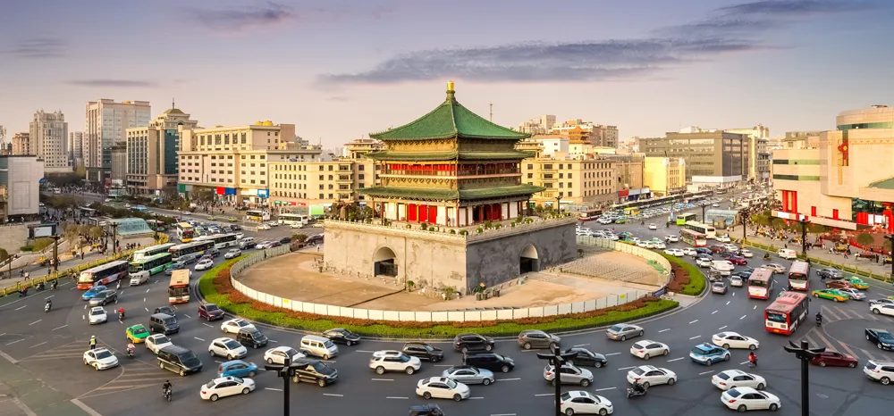
Xi’an Urban Traffic Administration had a problem: allowing transport to flow in a high-tech, expanding conurbation is a bit tricky when you are constrained within ancient city walls. The seat of China’s Tang Dynasty is certainly an awesome sight – but it’s a nightmare for modern road congestion in a city of more than 10 million people.
The historic ‘checkerboard’ layout, scattered with historically-significant ruins and bordered by tall, immovable boundaries, is an issue – particularly when construction projects are burgeoning and the city’s three million vehicles can only enter and exit through the city gates.The city turned to Chinese camera specialist Hikvision, and in particular to its artificial intelligence (AI)-powered camera systems.
“Xi’an’s city walls make it impossible to increase the size of the urban area,” says Lihu Ma, the company’s project manager. “So it was only through technology that we could allow the modern city to grow and develop.”
Xi’an traffic police worked with Hikvision, as well as urban planning experts, internet service providers and other tech companies, to design and implement an intelligent traffic management system. “Effectively, we are building a bridge between an intelligent digital world and the physical urban transportation network in Xi’an,” explains Lihu.
The new system works in three ways:
1. Road traffic violation monitoring
Xi’an traffic police has installed Hikvision’s Checkpoint Capture cameras and Intersection Violation Capture Units as part of a monitoring system that can detect illegal vehicle behaviour at intersections. In real time these ultra-high zoom cameras record vehicles making illegal turns and lane changes, and running red lights. Sonar-monitoring equipment is even being used to detect illegal use of car horns in banned areas.
2. Visual integrated command and despatch platform
Data from real-time video streams from Hikvision cameras, plus road condition perception technologies and mobile apps, is aggregated and dynamically displayed on a large screen in the command and control centre. In the event of a traffic incident, the system generates despatch recommendations intelligently, according to the location and distribution of traffic police officers throughout the city. Those closest to an incident receive an automated message to their mobile terminals, enabling them to react quickly. The intelligent traffic management system also uses advanced machine learning capabilities to gain insight into typical congestion patterns, in order to actively identify potential traffic events before they happen. By analysing large volumes of road condition data and information from Hikvision’s intelligent video cameras, the system can predict which intersections are most prone to congestion and when, enabling traffic police to put evasive measures in place before serious issues arise.
3. Intelligent signal control
The Xi’an traffic management team also employs congestion management practices to ease the flow of traffic, largely through the optimisation of signal timing. Using Hikvision intelligent video cameras coupled with augmented reality tech, the intelligent traffic management system monitors traffic flow data and dynamically alters the timing of signal lights accordingly. It has oversight of queue length and average driving speed in all directions from intersections, and automatically adjusts the lights.
Results
Intelligent signal control has increased traffic throughput by 10%, and reduced average vehicle journey time by about 12%. Traffic offences are generally decreasing - with traffic violations dropping 30% in one short-term observation. The proactive traffic incident warning function has led to detection rates rising by more than 30% compared to the traditional model, Hikvision says.


