David Crawford previews a work zone travel breakthrough.
In February 2014, the Port of Long Beach in California launched what it claims is a groundbreaking construction zone navigation aid - LB Bridge mobile app. The app is designed to help drivers during the Gerald Desmond Bridge replacement programme by keeping them up to date on activity and the ensuing traffic diversions when construction starts in summer 2014.
The unusually content-rich app is designed to convey current project news (enlivened by photos and video streaming) and recommended detours. It carries hands-free audio traffic alerts in English and Spanish as well as extended webcam coverage of traffic conditions on both highways and local streets. Port community relations manager John Pope told ITS International: “It’s important to show both, because our app users will use both.
“Road status is becoming more and more critical to the average motorist in Southern California. Los Angeles radio and TV traffic reporters are looking to online, web and app updates for the latest news to share with their audiences. We also know the importance of having streets and highways properly labelled.
“We aim to remove a lot of guesswork. Our app will give
specific advice on lane closures and show alternative routes in a single package.”
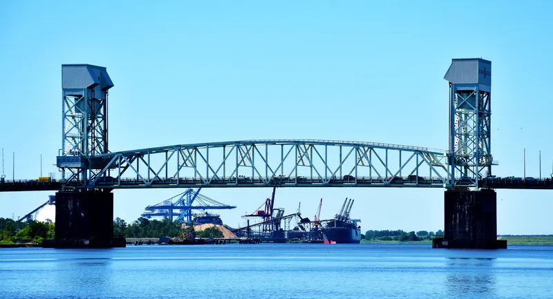
The US$1.2bn replacement scheme, on which ground clearance started in August 2013, will replace the existing two lanes in each direction crossing with one, each with three lanes in either direction. In the process it will deliver one of the tallest cable-stayed bridges in the US and the first of its kind in California.
It will link the Californian mainland across the Back Channel (which leads into the Port’s inner harbour) with the 11.56km2 Terminal Island, a largely artificially created complex of container and bulk terminals which extend the Port area. Together with the neighbouring port of Los Angeles, the area makes up the largest harbour complex in the US, handling a quarter of all its container cargo traffic.
David Crawford previews a work zone travel breakthrough. In February 2014, the Port of Long Beach in California launched what it claims is a groundbreaking construction zone navigation aid - LB Bridge mobile app. The app is designed to help drivers during the Gerald Desmond Bridge replacement programme by keeping them up to date on activity and the ensuing traffic diversions when construction starts in summer 2014.
The unusually content-rich app is designed to convey current project news (enlivened by photos and video streaming) and recommended detours. It carries hands-free audio traffic alerts in English and Spanish as well as extended webcam coverage of traffic conditions on both highways and local streets. Port community relations manager John Pope told ITS International: “It’s important to show both, because our app users will use both.
“Road status is becoming more and more critical to the average motorist in Southern California. Los Angeles radio and TV traffic reporters are looking to online, web and app updates for the latest news to share with their audiences. We also know the importance of having streets and highways properly labelled. “We aim to remove a lot of guesswork. Our app will give
specific advice on lane closures and show alternative routes in a single package.” The US$1.2bn replacement scheme, on which ground clearance started in August 2013, will replace the existing two lanes in each direction crossing with one, each with three lanes in either direction. In the process it will deliver one of the tallest cable-stayed bridges in the US and the first of its kind in California. It will link the Californian mainland across the Back Channel (which leads into the Port’s inner harbour) with the 11.56km2 Terminal Island, a largely artificially created complex of container and bulk terminals which extend the Port area. Together with the neighbouring port of Los Angeles, the area makes up the largest harbour complex in the US, handling a quarter of all its container cargo traffic.


