Vehicle drivers and users of alternate transportation often face off when it comes to what type of infrastructure is needed or should take priority. Too much money is spent on yet more roads, says one side. Meanwhile, the other side insists that multi-use lanes are squeezing out drivers from road infrastructure that was intended for drivers in the first place.
But one Canadian province appears to be having a breakthrough when it comes to creating a harmonious environment for multi-use infrastructure development. British Columbia, up against the Pacific Ocean on one side and the Canadian Rocky Mountains on the other, has set up special funding mechanisms.
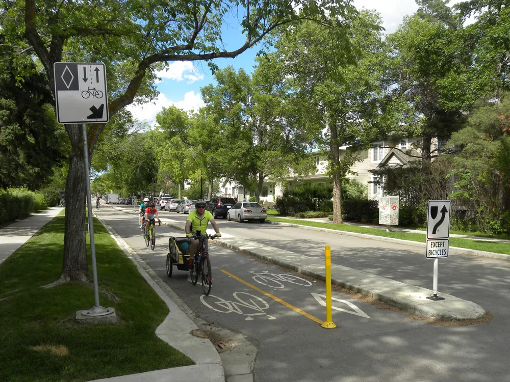
One, the BC Active Transportation Infrastructure Grants Programme, provides guidance and cost-sharing for communities to make it easier and safer for people who are not in motor vehicles. The province cost-shares active transportation network plans to a maximum of 50% or Can$50,000, whichever is less. The province cost-shares to a maximum of $500,000 per project. Provincial cost-share portions are determined by the type and size of community applying for a grant.
Cycle 16
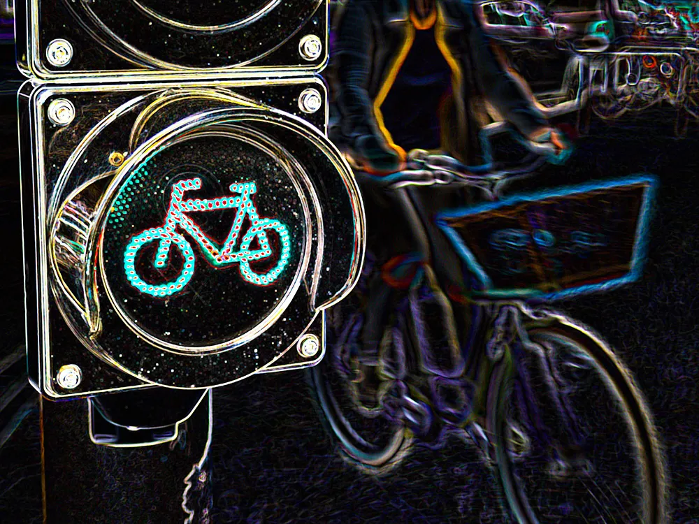
Active transportation includes walking, cycling and forms of “rolling”, such as skateboarding, unpowered scooters and in-line skating. Infrastructure grants fund multi-use protected travel lanes, pedestrian and cycling safety improvements, end-of-trip facilities and other amenities, including lighting and way-finding or signposting.
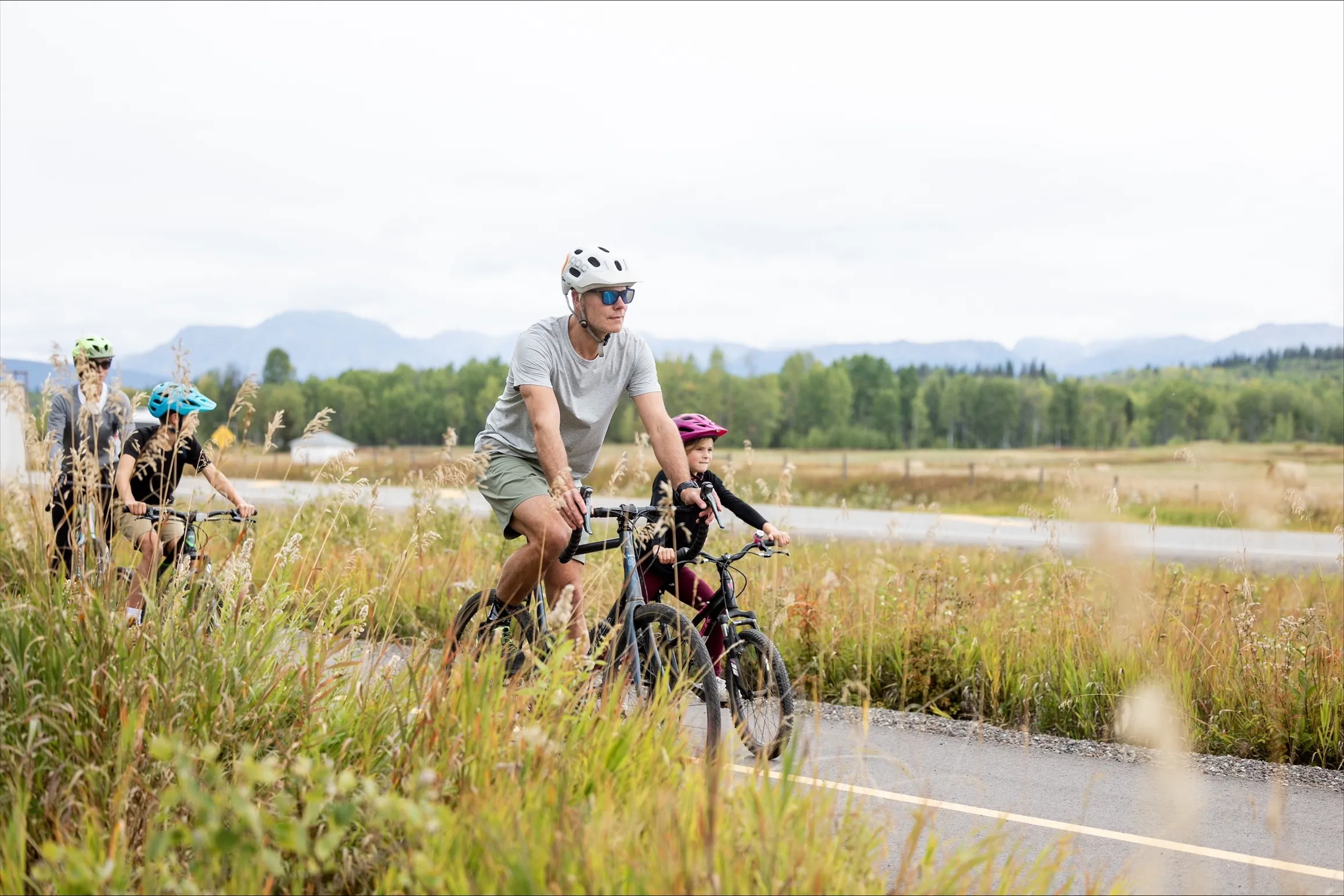
One particular multi-use path project has set the template for small communities to develop this type of infrastructure. The Cycle 16 project is named after provincial highway 16, whose right-of-way it uses for its 3m wide lanes. The 12km trail will eventually link the communities of Smithers and the village of Telkwa, providing safe non-motorised travel.

The 3.7km paved phase one – there are four phases – is now open, connecting to a low-income housing trailer park which has the highest-density population in the rural area. The Cycle 16 trail provides people who live in the park with an alternative, lower-cost option to commute to Smithers.
It has been a game-changer for getting people everywhere moving and for making them safer, says Allan Kindrat, who lives in Smithers in north central BC. He cycles to work simply because “it is just easy for me and I love to bike in the mountains”.
A senior transportation engineer for highways and roads with consultancy WSP, he is also project manager of Cycle 16. He worked closely with the stakeholders, pulling many pieces together and, in August 2021, completed the detailed construction design. “Before Cycle 16, I would never have anticipated I would become so involved in this type of project,” he says. “It is now almost exclusively what I do.”
Cycle 16 was “a people-intense type of engineering work”. His project management and construction experience and living and working in a small community all come together. Creating multi-use paths are “community-building projects”, he says.
The Cycle 16 organisation has over 1,100 members who strongly support the project. Kindrat notes that for context, Smithers has population of around 5,000. “You are working with non-profits, people who are passionate about their community, wanting alternative options of transportation. With Cycle 16, I attended their board meetings as a volunteer. For four years, I reported back to them on progress of the project and went to their fundraising events. It was a very rewarding experience.”
Connect the Coast
He is now involved in the proposed - and much more ambitious - Connect the Coast project. This is on another level in many ways, with cycling and pedestrian infrastructure connecting Sunshine Coast communities along the 156km Highway 101 corridor.
The Sunshine Coast is an isolated area just north along the coast from Vancouver. It is bound by Howe Sound to the south-east, Desolation Sound to the northwest, the Pacific Mountain Ranges to the north-east and the Strait of Georgia to the south-west. The region is a heavy tourist destination because of its natural beauty, and Highway 101 follows the rugged coast line, linking many of the small communities.

"Every small community has a need for a multi-use path or bike lanes somewhere” Allan Kindrat, WSP
However, most of the highway is an exceptionally curvy undivided two-lane route with few passing opportunities. Design challenges for any multi-use path will include busy highway crossings, environmentally-sensitive areas, archaeological sites and varying widths of highway the right-of-way.
The first segment of the Coast to Coast project is 30km from Langdale Ferry Terminal to the town of Sechelt and which has been divided into 22 segments for design purposes. Preliminary design work was completed in 2022 and the estimated cost is around $125 million.
Making progress
As of February this year, progress is being made toward the conceptual design for the first priority segment, a 2.5km stretch from Pratt Road in Gibsons to Lower Road in Roberts Creek. It incorporates shared roadways, protected cycle lanes and multi-use paths. Connect the Coast Society received funding for planning work on this segment from the federal government, Sunshine Coast Regional District, Town of Gibsons, BC Cycling Coalition and private donors.
Kindrat believes that the 3m width is on the narrower side for these types of paths, on average. But wider sections can be permitted, depending on physical constraints. If pushing the width to 4m means extending beyond the right of way, then property acquisition comes into play, increasing time and costs.

Kindrat believes the feasibility of connecting communities with off-highway multi-use pathways, like Cycle 16 and Connect the Coast, largely depends on the distance between communities or neighbourhoods within a larger municipality. Canada is not Europe, in that it often has large distances between rural settlements and towns with little in between, such as food stops, accommodation and shelter.
However, Cycle 16 has demonstrated that connecting communities around 13km apart is achievable - provided there is strong community support and dedicated leadership to drive early planning and feasibility studies. “However, the question remains: how far is too far? That threshold is unclear to me,” he says.
“Nonetheless, there is definitely change happening and its exciting. We are seeing a lot of opportunities as every small community has a need for a multi-use path or bike lanes somewhere. Its feels like there is endless work to do to improve these communities and it’s an exciting place to be as a design engineer.”
After a section of a multi-use path is finished and people are using it, they will usually ask when the next section will be finished. It’s a ‘seeing is believing’ moment, he says, where the desire for more is generated according to what is available.
Kindrat says that he also cycles the path, often taking with him his small children who like the experience. “I think they are pretty proud of me.”
-------------------------------------------------------------------------------------
How the money works
Last year the BC government announced the Active Transportation Capital Fund, the first time the province has ever funded directly active transportation projects, says Kindrat. There is $85 million in the fund for 11 active transport projects, including Cycle 16.
Under the AT Capital Fund, projects can include building or enhancing infrastructure, such as multi-use paths, sidewalks, footbridges, separated bicycle lanes and connections to other roadways. This could include recreation trails provided they can be used for transportation, such as connecting to destinations, services or amenities. The fund can be used for enhancing active transportation infrastructure, including design considerations in which there may be no net gain in kilometres of infrastructure, but include quality improvements that support greater use.
The fund can also be used for providing or enhancing design features and facilities that promote active transportation, such as storage facilities, lighting, greenery, shade and benches. Money can be used for building or enhancing safety features that promote active transportation, such as crosswalks, speed bumps, fences and wayfinding signage.